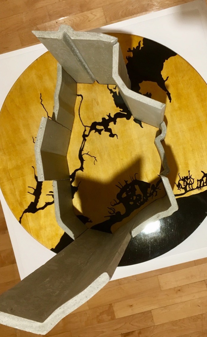
Concrete, plywood, enamel, and paint, 2017
Much of the rhetoric around immigration to the U.S. in recent years has centered on the Trump administration’s proposal to build a wall along the southern border. The effects of this debate on immigrant cities that are far from such physical borders is less visible, but in New York City, whose airports offer the first port of entry for many immigrants, the impacts of immigration policy are no less meaningful. In this sculpture, data artist Doug McCune physicalizes the barriers that many would-be immigrants face: a combination of restrictive policies, anti-immigrant sentiment, and economic realities.
The work shows a concrete wall surrounding New York City. The height of each section is proportional to the number of immigrants living in New York who originally came from the various directions on the globe. The routes were mapped as an airplane would fly from each region of New York City to the country of origin. McCune determined the height by calculating the number of immigrants “crossing” each section of the city border. This piece challenges us to ask: what would New York be without immigrants? How close will we get to finding out?
Source: The map uses data on country of origin for all foreign-born residents from the 2017 American Community Survey five-year estimates.
This work was commissioned for the You Are Here NYC exhibit at the Pratt Manhattan Gallery, Sep – Nov, 2017.


